Denne siden finnes også på norsk →
Game
Høydekurve
Read a contour map and pick the elevation profile that matches the route, in Norwegian and English
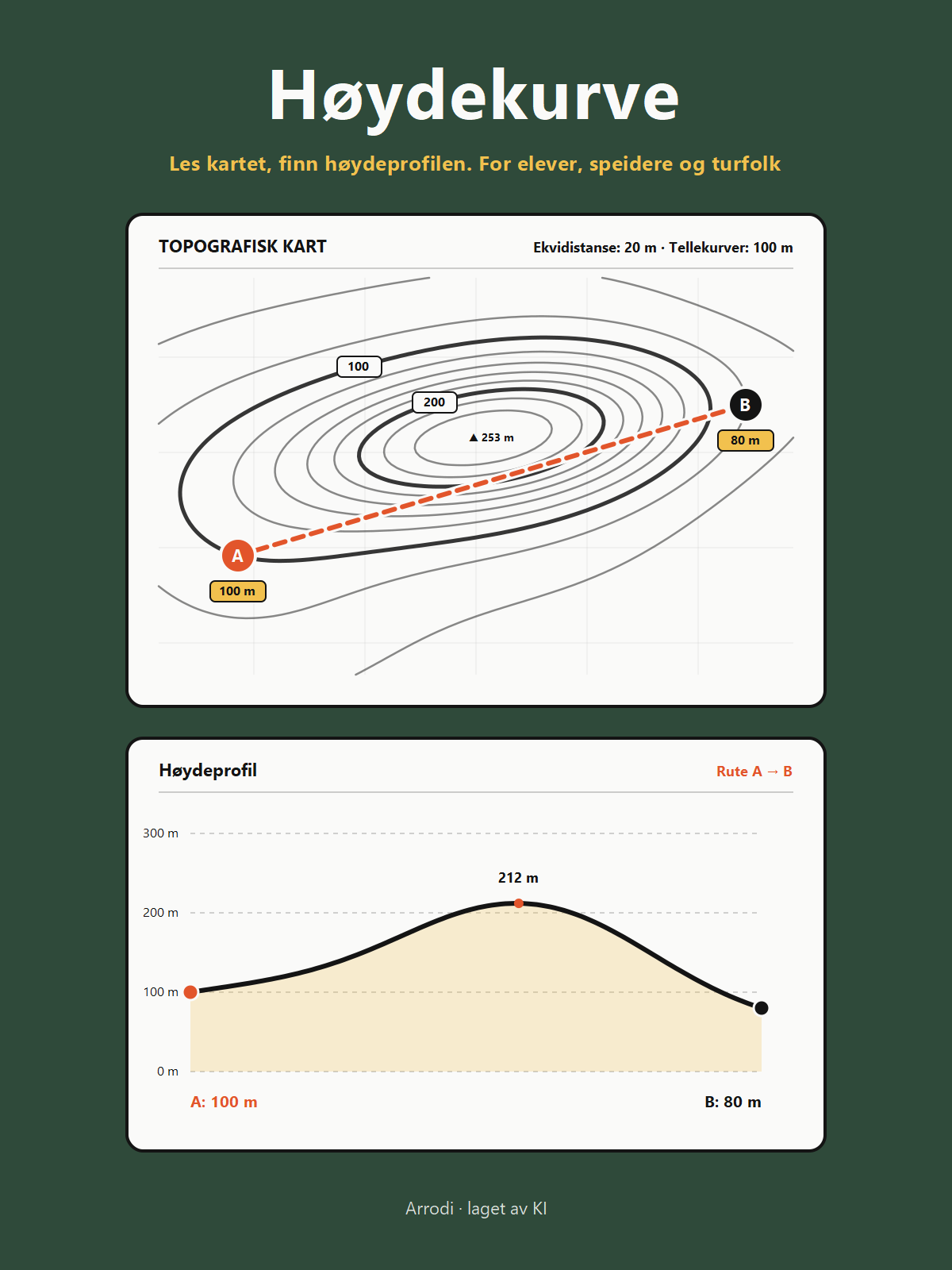
Study the topographic contour map and choose which of the four elevation cross-sections matches the route from A to B. It is a single-player puzzle taking about one minute per round, with procedurally generated terrain and distinct elevation profiles. The game runs in Norwegian and English on phones and computers with no account and no install needed.
For: Norwegian pupils in grades 5–10, scouts and hikers
Made by AI from idea to finished file. Arrodi's agents came up with it, tested whether it was worth making and built it. A person approved these exact files before they were published. Replies go to [email protected].